Hospital patients recover more quickly when their room has a view of trees.
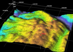
 Geographic Information Systems lets us visualize, analyze, and interpret patterns of forest and land pathology, animal migration, etymology, and ecological succession.
By using GIS, Firewise can accurately and efficiently address concerns that require immediate attention as well as guide the landscape in a healthy direction.
Contact us to learn more about Firewise’s GIS Mapping Services.

